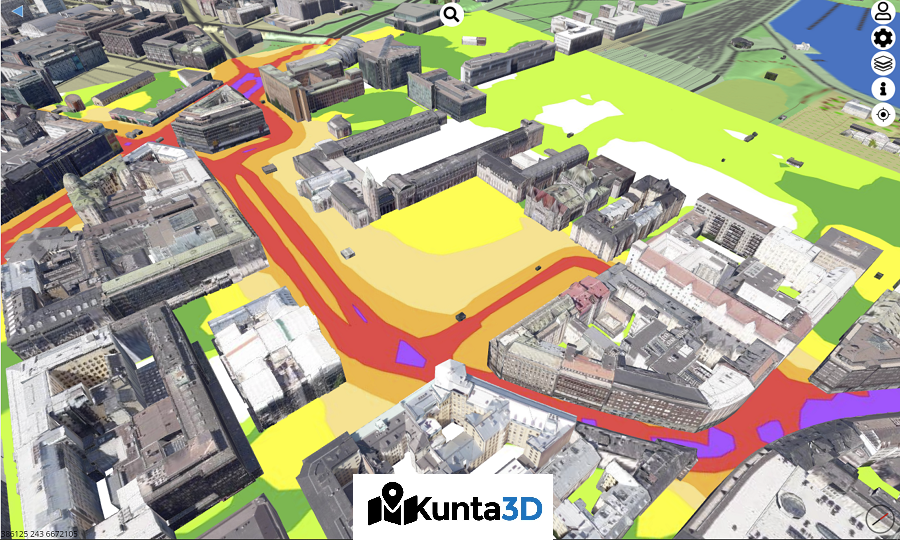
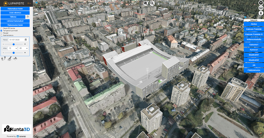
Kunta3D is a publication and interaction platform for 3D urban models and materials. With the help of the solution, it is possible to study, for example, all materials published by Helsinki from the WMS interface, CityGML models and shell models. The solution also works directly integrated with the electronic building permit system's Lupapiste.fi service.
- Classified terrain of the National Land Survey of Finland in 3D format
- WMS-WFS interface number (Display all Helsinki WMS materials). WFS datasets are more complex and are supported on a case-by-case basis.
- Presenting a CityGML city structure as textured or untextured
- Importing BIM models (IFC buildings, ARK-RAK, TaTe) into your own project
- Importing LandXML (Infra) models into your own project
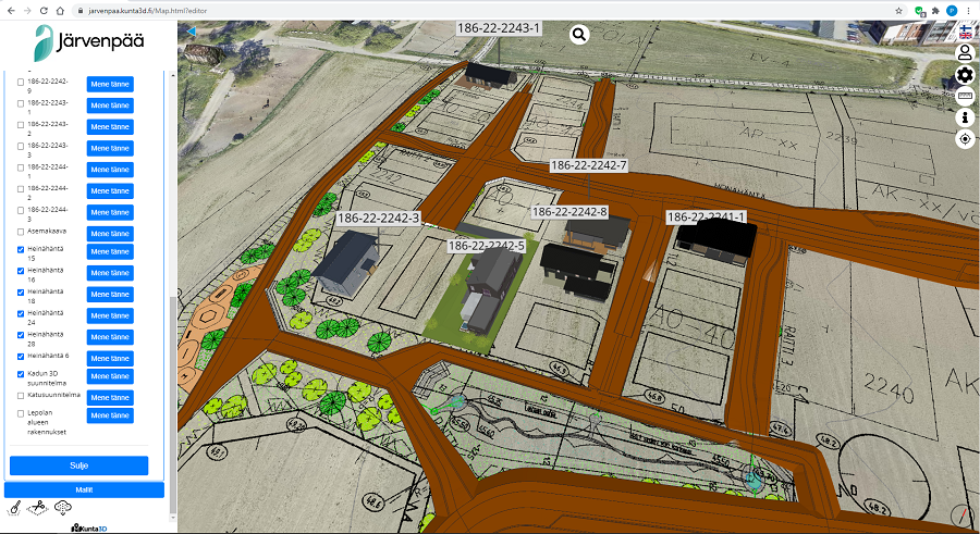
- Simultaneous study of neighborhood projects with a web browser
- 3D geometry materials (such as ground surfaces, visualization objects)
- Import GeoTIFF and other raster data into your own project
- Importing point cloud data into your own project
- 360 images, photos, and a host of other features
Kunta3D works integrated with Lupapiste.fi's electronic building permit and Maptionnaire plan surveys. More integrations are being done with different companies and cities.