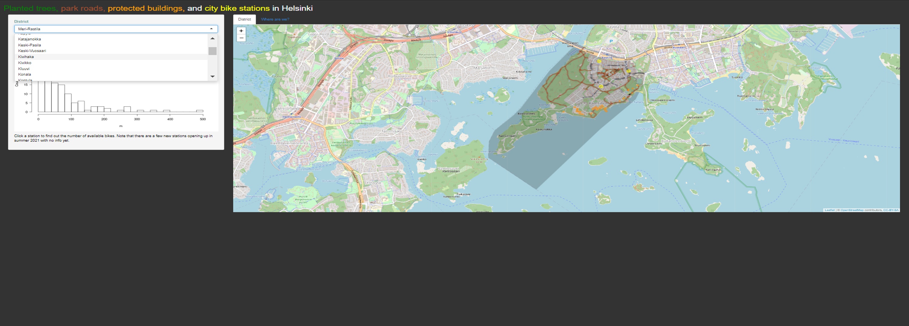
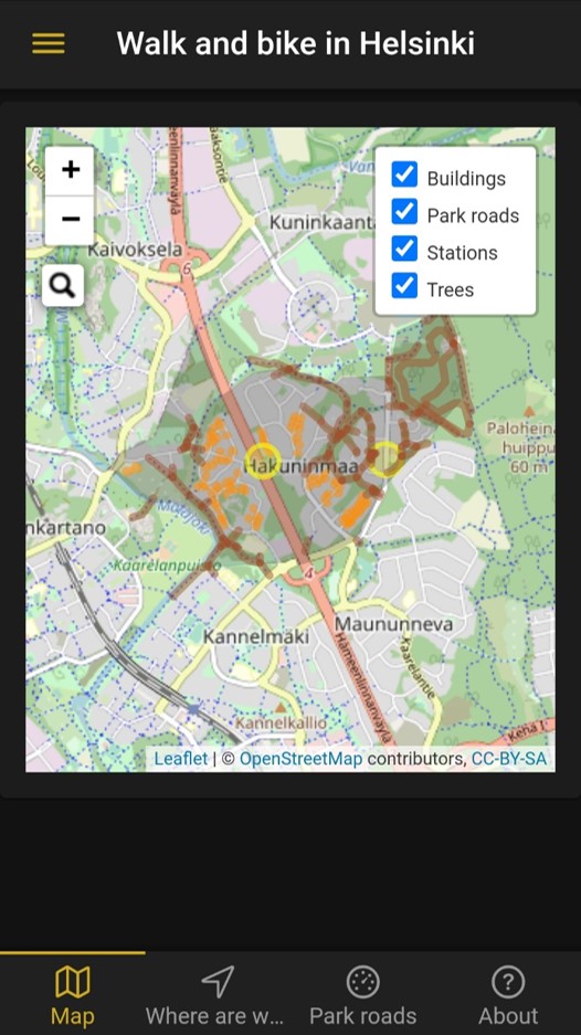
Planted trees, park roads, protected buildings, and city bike stations in Helsinki app shows you park roads (in brown), planted trees (opaque green), protected buildings (orange), and City Bike stations (biggish yellow circles). Hint: click a bike station. After a second or two, it shows the number of available bikes. The basemap is provided by OpenStreetMap.
There are two versions of the app:
- mobile app https://ttso.shinyapps.io/walkhki/ (code: https://github.com/tts/walkhki/)
- browser https://ttso.shinyapps.io/walkinghelsinki/ (code: https://github.com/tts/walkinghelsinki)
For more information, read this post: http://tuijasonkkila.fi/blog/2021/05/walks-and-biking-in-helsinki/

