Terdelaskuri (Archived)

Visualizations
Esri Finland Oy - Published 11.12.2017 - Updated 11.12.2017
  1. 2017-12-11-133130.892976terdelaskuri-310x348.jpg

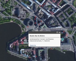
This visualization shows all terraces in public places in Helsinki. The terraces are shown either on the chosen map layer or on an aerial photograph. It also calculates the number of customer spaces of visible terraces.

Update 12/2017: This visualization is no longer available.

Used datasets

comments powered by Disqus