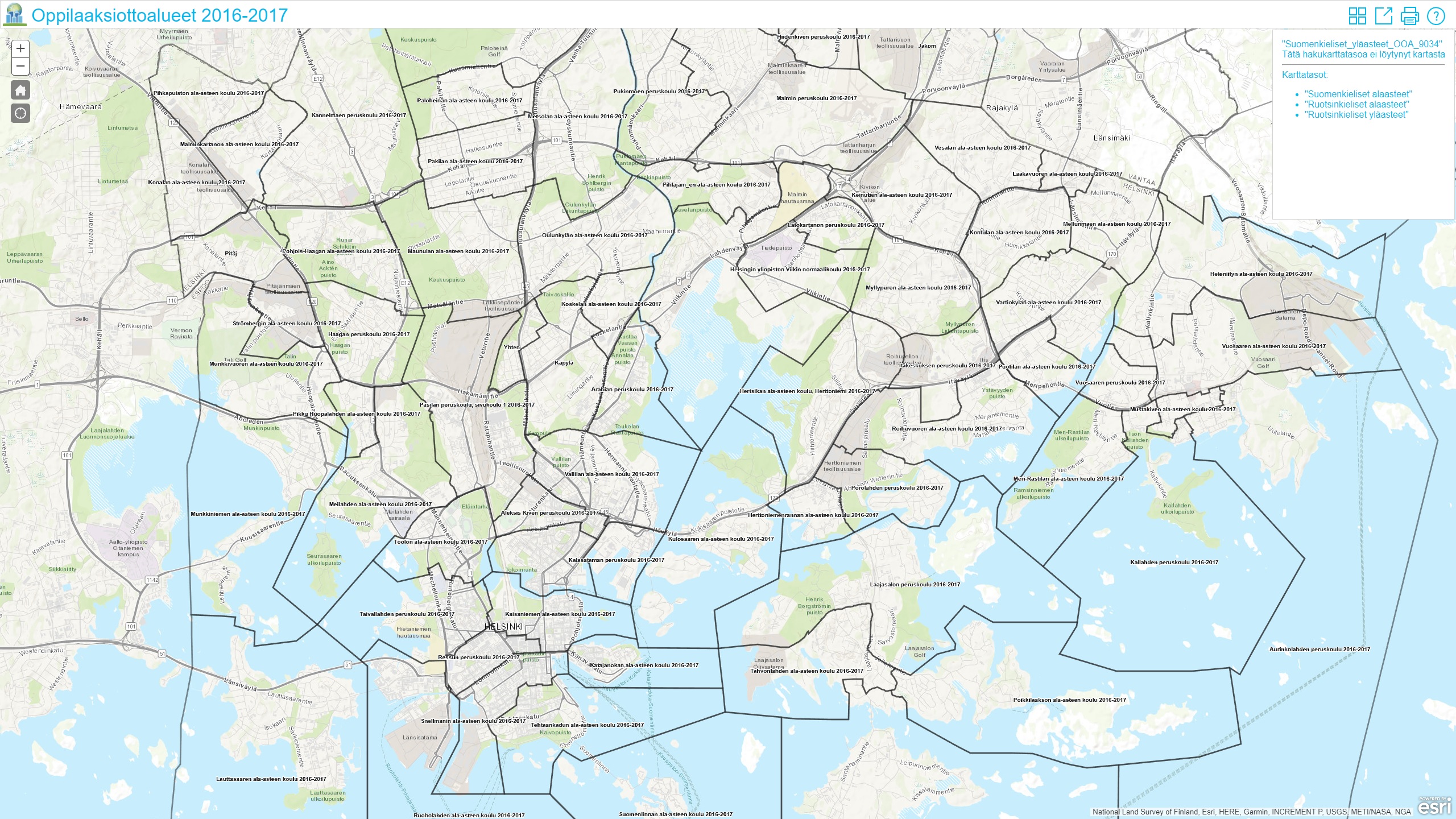
Oppilaaksiottoalueet 2016-2017
Visualizations
Esri Finland Oy
-
Published 13.12.2017
-
Updated 13.12.2017