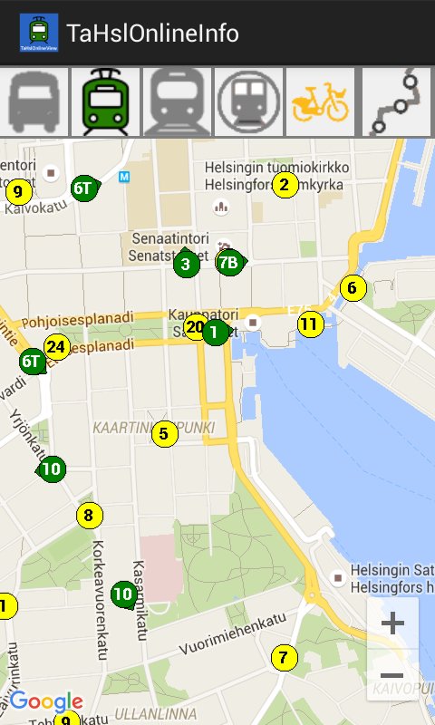
Direct link to content
  • Frontpage
  • Data
    • Search data
    • New data request
    • Categories
    • Organizations
    • Data collections
  • Showcases
    • All showcases
    • Submit new showcase
    • New showcase idea
  • News
    • Articles
    • Latest updates
  • Support
    • What is open data?
    • How to open data?
    • How to use data?
  • What is HRI?
    • What is HRI?
    • Materials and logos
    • Analytics
    • Contact information
  • FI
  • EN
  • SV
Helsinki • Espoo Site logo Vantaa • Kauniainen
Helsinki • Espoo • Vantaa • Kauniainen
  1. Frontpage
  2. Showcases
  3. TaHslOnlineInfo

TaHslOnlineInfo

Applications
  • public transport
  • trains
  • city bikes
  • traffic
  • bus traffic
  • buses
  • metro
  • cycling
  • trams
  • routes
Timo Åhman - Published 13.12.2017 - Updated 13.12.2017
  1. 2017-12-13-113259.364952tahslonlineinfo1.jpg
  2. 2017-12-13-113259.365161tahslonlineinfo2.jpg

TaHslOnlineInfo displays HSL transport vehicle locations and line data in the selected area, as well as city bike stations free bikes (and empty return places).

The information is based HSL's open data.

Used datasets

  • HSL Journey Planner API

    The Journey Planner) APIs offer data regarding routing, geocoding, map data and vehicle locations through several APIs. Routing API: Itinerary- and timetable-queries via either...
    • XML
  • Data portal arrow_forward
  • Content management arrow_forward
Site logo
Follow us

  • Terms and conditions
  • Data Protection
  • Contact information
  • Accessibility (in Finnish)