
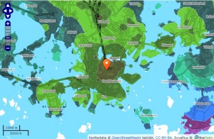
With Matka-aikakartta (tr. travel time maps) it is possible to see how long it takes to travel from point A to point B with public transport, walking or by bicycle in the Helsinki Region Transport (HSL/HRT) area. You can also check the map how far you can get with one of the aforementioned transport methods in a specific time frame. The calculations have been based on the official HRT/HSL journey planner.
Additionally, the service tells how many residents or employees there are in a certain spot in the travel time matrix. Calculations have been made with utilising a mix of journey planner, HSY open data, and HSY statistical data.
This service is currently not available.