Date
Categories
Author
-
Tanja Lahti
Helsinki Loves Developers: Helsinki Region GIS data freely at your disposal!
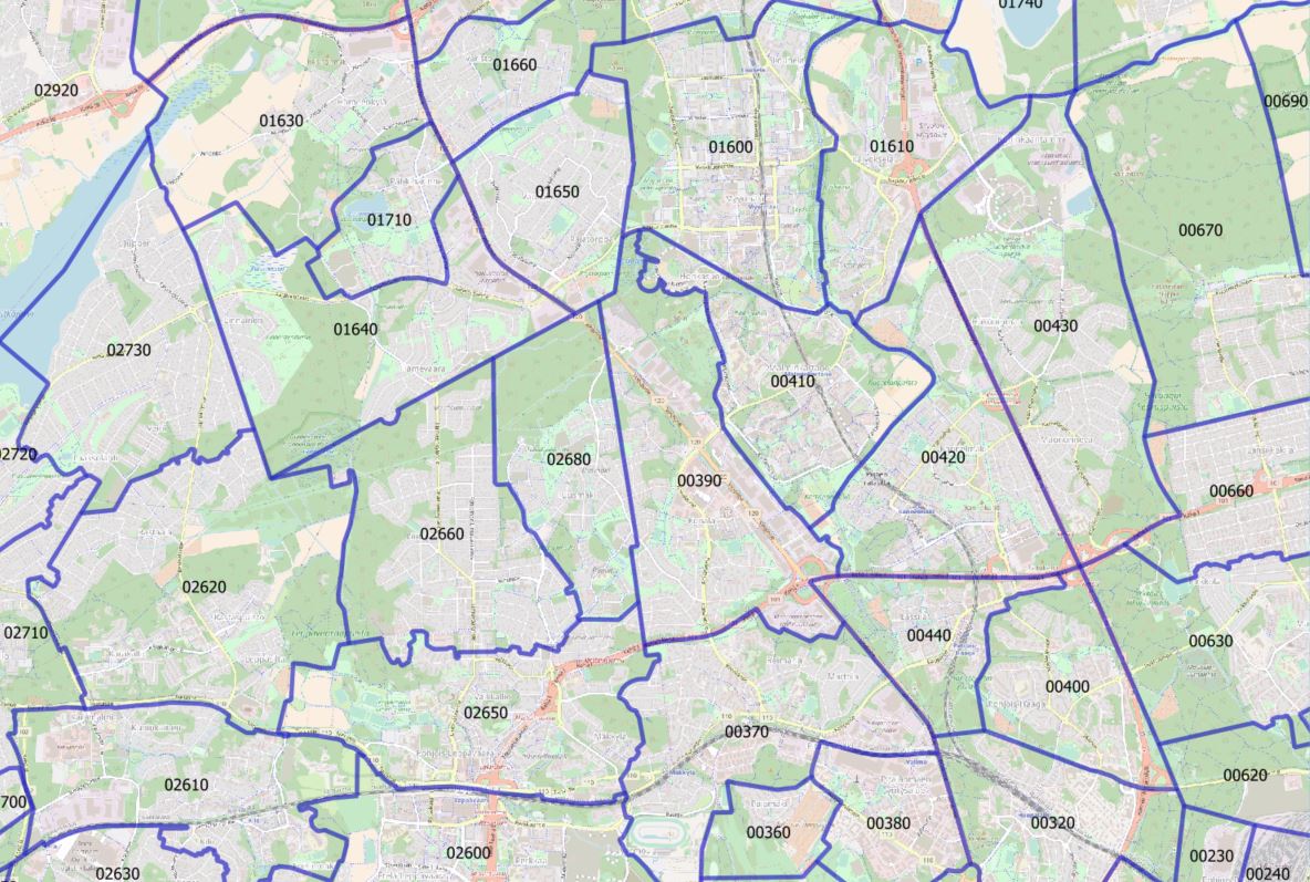
Did you know that dozens of sets of GIS (geographic information system) data from the Helsinki Metropolitan Area are available as open data for your use? These include guide maps, building data, road maps, traffic noise zones, land cover data, population grid, school admission areas and much more! Some of these data sets cover the entire region, some are city-specific data. Opening up this information gives us all new opportunities to utilize these valuable data sets for our own purposes – there are already lots of use cases.
Join us at the Helsinki Loves Developers meetup on Thursday 3rd May 2018 at 3–6 pm to get a comprehensive overview of all the open GIS data that already exists in the Helsinki Region. Experts from the city administrations as well as the Helsinki Region Environmental Services Authority and Helsinki Region Transport will be talking about their own open data sets. We will also discuss the utilization of open GIS data. The venue of this event is Laituri (Narinkka 2, Helsinki).
This event will be held in Finnish, but some presentations and discussions can also be conducted partly in English if needed.
Program
15.00 Welcome!
15.05 Open GIS data freely at your disposal
- Helsinki, Ville Jussila
- Espoo, Mirja Metsälä
- Vantaa, Arsi Juote
- HSY, Mikko Nikkanen
- HSL, Markku Huotari
16.30 Benefits of open GIS data
- Topi Tjukanov
- Antti Ahola
- University of Helsinki (tbc)
17.20 Workshop
18.00 Event ends
Sign up at Facebook or Meetup. More information about the available open GIS data and use cases.
Welcome!
You might also be interested in these GIS data related articles (in Finnish):
Leave a Reply