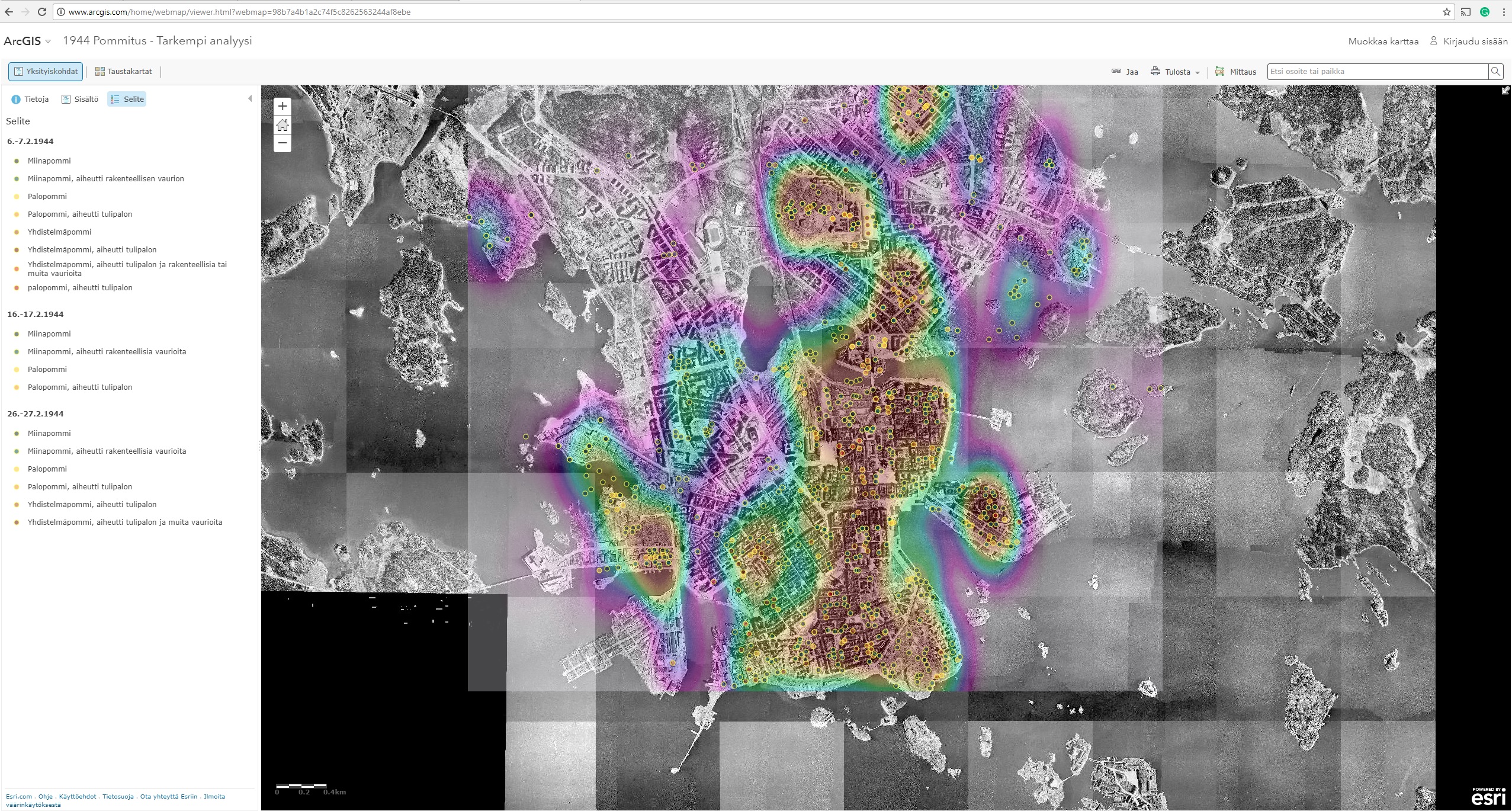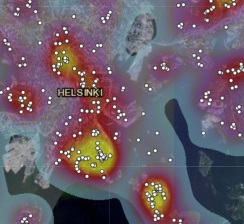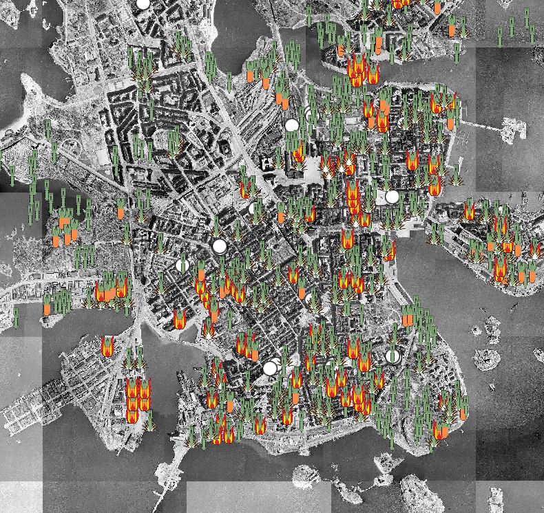
Vuoden 1944 pommitus
Visualizations
Antti Ahola
-
Published 11.12.2017
-
Updated 18.12.2019