
The pilot project "3D Data Integration into QGIS" was implemented in Q1/2024. The project integrated the City of Helsinki's 3D brick data into the QGIS environment as much as possible, with the aim of supporting urban planning processes and improving decision-making.
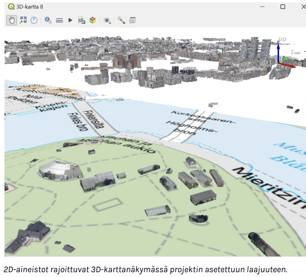
QGIS is a free, open-source geographic information software that includes the ability to browse, edit and analyse data. Version 3.34 of QGIS introduced support for 3D brick data as a new feature. This feature and its potential were tested in this project.
A GitHub repository was created to store and share QGIS project files and other files relevant to the project results. For example, as part of the experiment, a QGIS project file was compiled, bringing together all the open 3D brick data available in the City of Helsinki and the data provided for the experiment. This QGIS project file can be downloaded from GitHub as "3D experiment all data.qgz". The project also produced a guide "Optimising QGIS for 3D".
Project objectives
- To lay the groundwork for greater access to 3D data in the city in the coming years.
- Try a new way of using the city's 3D data.
- Increase the potential for using the city's 3D data.
- Expanding the user base of 3D data within the city organisation
Project structure
- /qgis project files: contains QGIS project files.
- Other folders and files contain additional materials such as test data and scripts.
Creator: Gispo Oy Owner: Forum Virium Helsinki and Gispo Oy