-
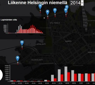
Liikenne Helsingin niemellä 2011-2014
12.12.2017 -

Pyörä on Helsingissä nopein lyhyillä matkoilla
12.12.2017 -
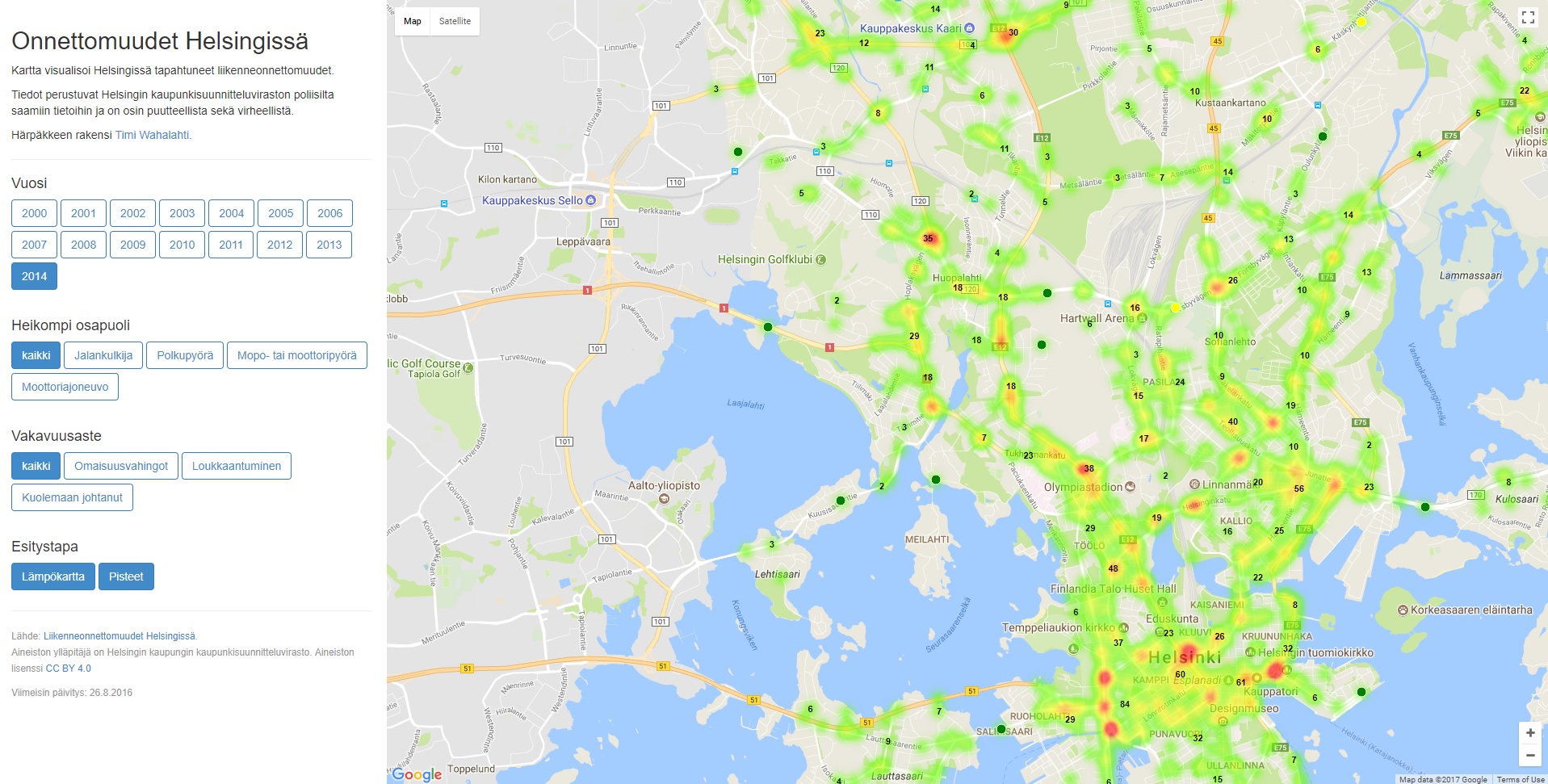
Onnettomuudet Helsingissä
12.12.2017 -
Helsingin liikennemäärät
12.12.2017 -

Dösä Tracker
12.12.2017 -

Bussinavi
12.12.2017 -
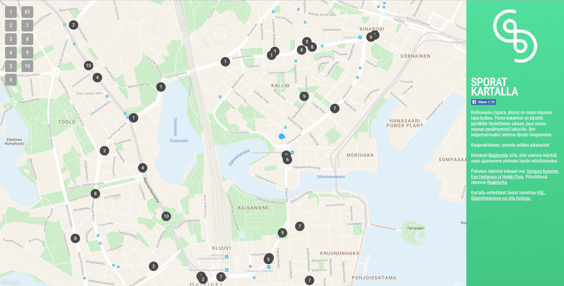
Sporat kartalla
12.12.2017 -

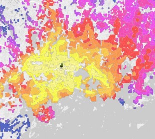
Matka-aikoja Hot Doge -ravintolaan
12.12.2017 -
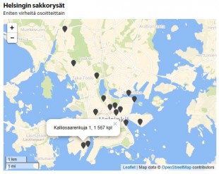
Helsingin sakkorysät
12.12.2017 -
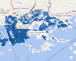
Väärin pysäköity!
12.12.2017 -
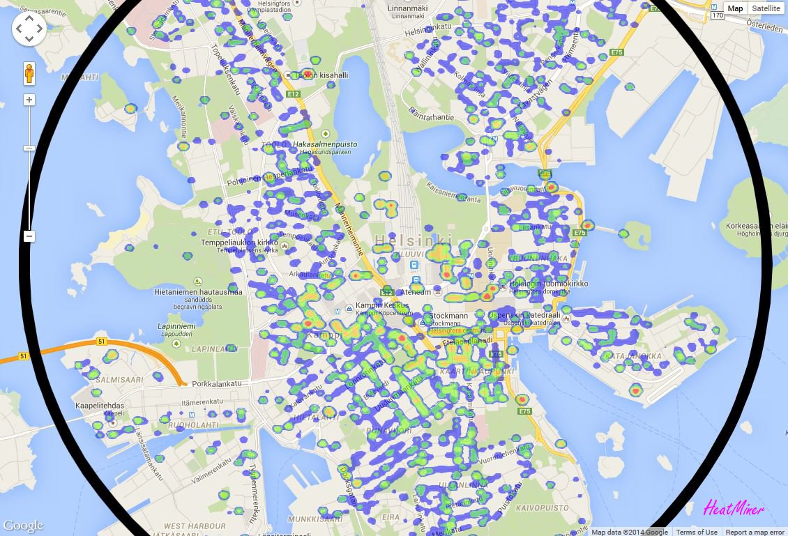
Helsingin pysäköintivirheet
12.12.2017 -
Get Bus
11.12.2017 -
Matka-aika Esrille aamulla
11.12.2017 -

Nysse
11.12.2017 -
BusWatch
11.12.2017 -

Lumiaura
11.12.2017 -

Aurat kartalla
11.12.2017 -
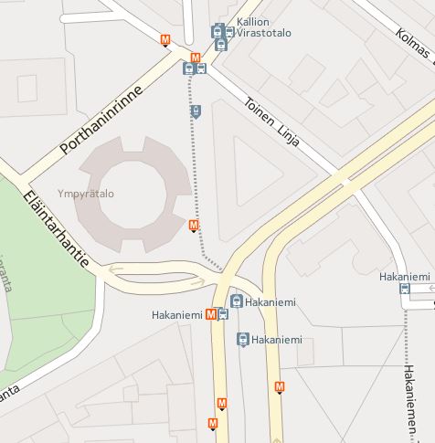
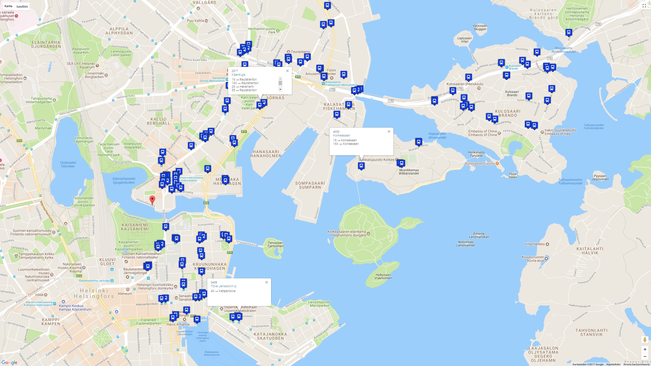
Lähipysäkit
11.12.2017