-
tullinpuomi.fi
5.3.2026 -

Bussitutka
11.4.2022 -

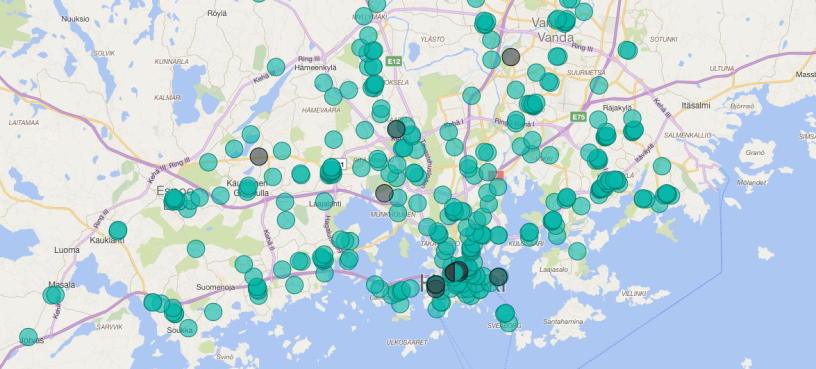
Kartta paljastaa alueet, joilla bussi kulkee harvoin
16.9.2019 -
PowerApps-mobiilisovellus myymälöiden tarkastajille
26.4.2018 -
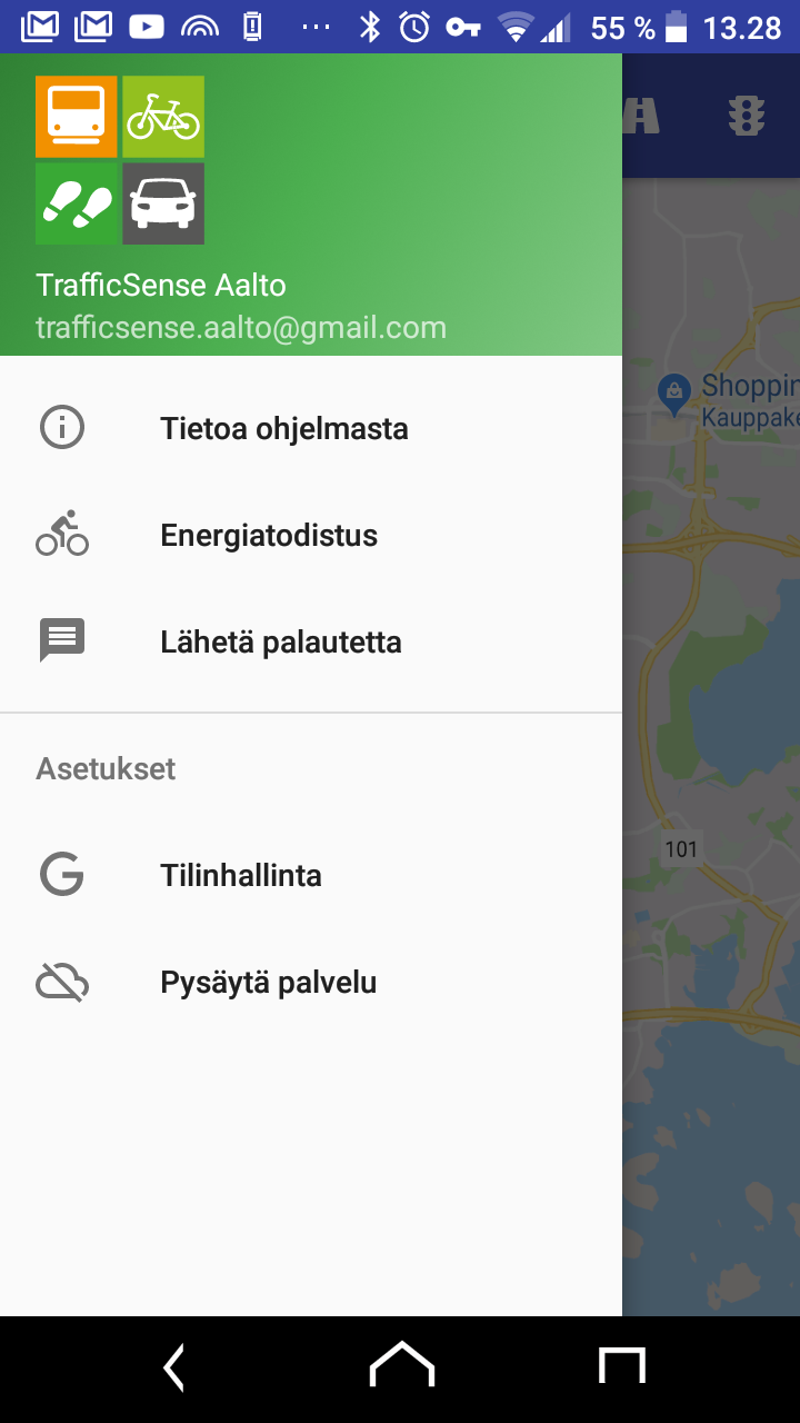
TrafficSense
14.12.2017 -

Mapple
14.12.2017 -
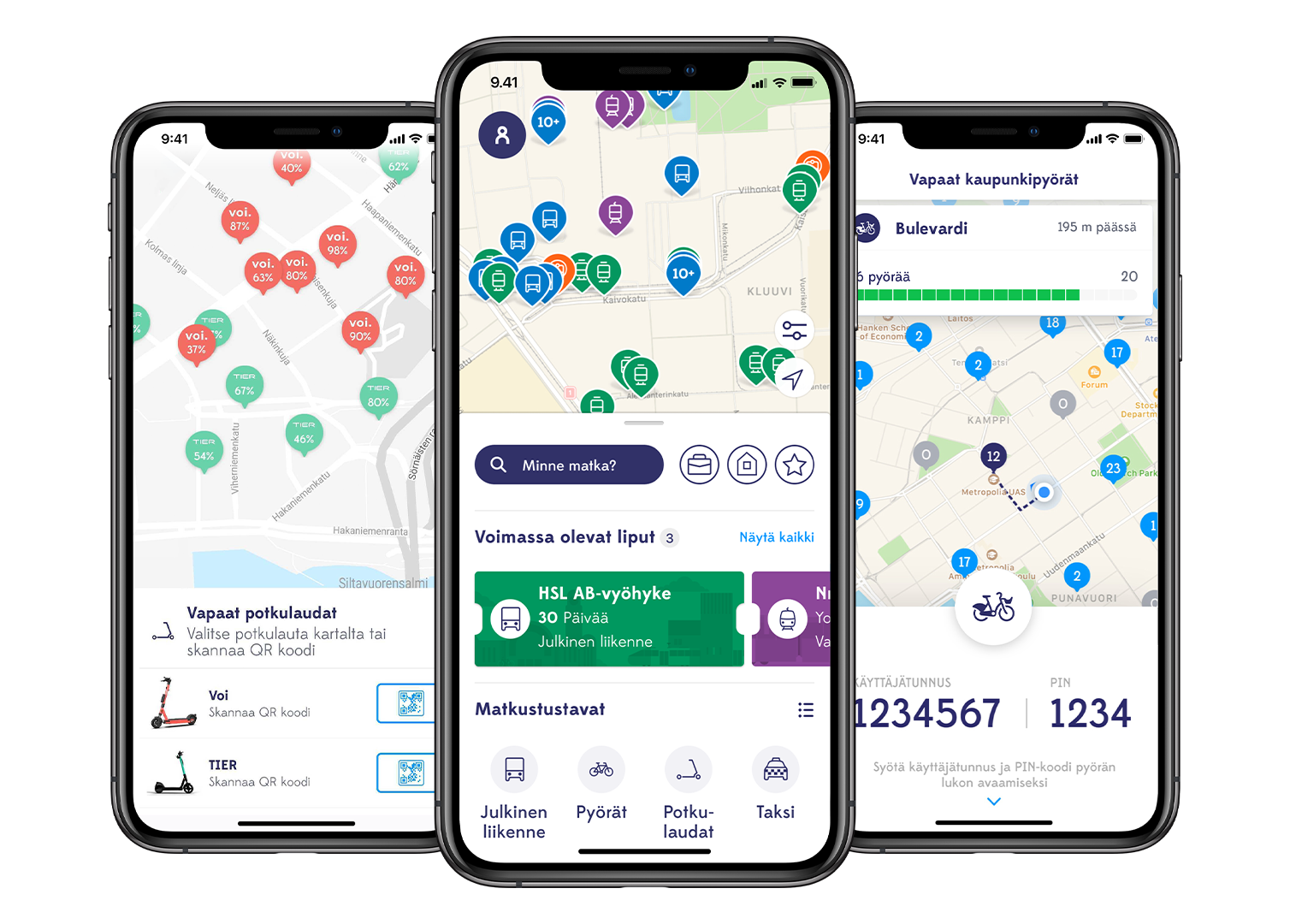
Whim
14.12.2017 -
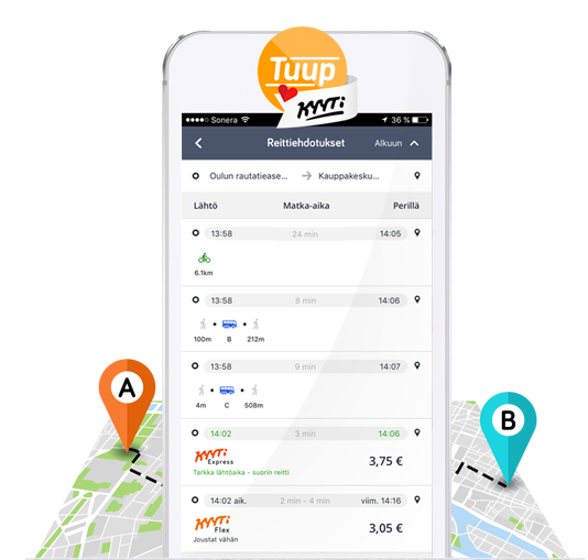
Tuup
14.12.2017 -

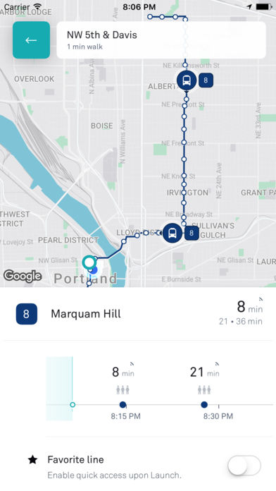
Perille
14.12.2017 -
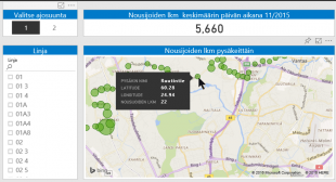
HSL:n nousijamäärät
13.12.2017 -
moovel
13.12.2017 -
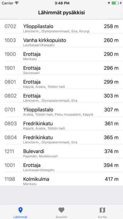
Lähimmät lähdöt
13.12.2017 -
TaHslOnlineInfo
13.12.2017 -
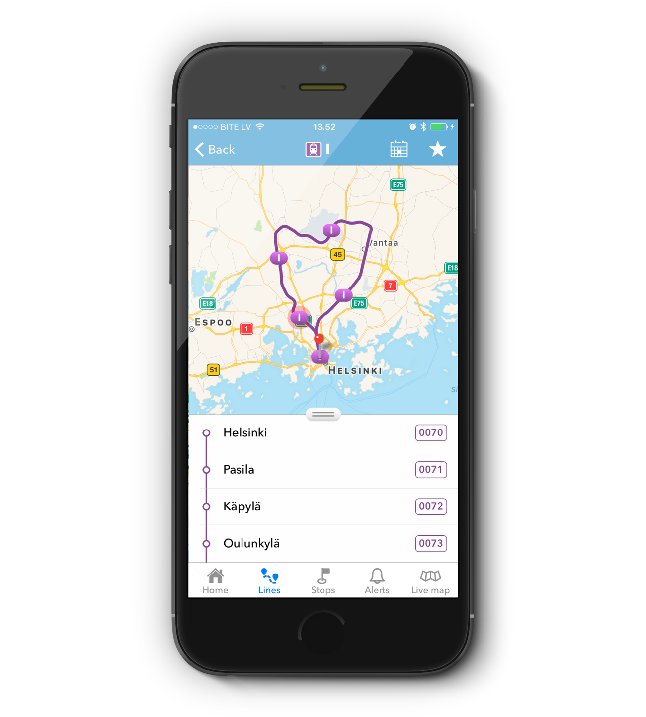
Transporter
13.12.2017 -
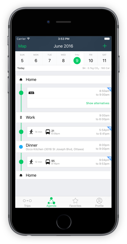
TripGo
13.12.2017 -

Pyörä on Helsingissä nopein lyhyillä matkoilla
12.12.2017 -

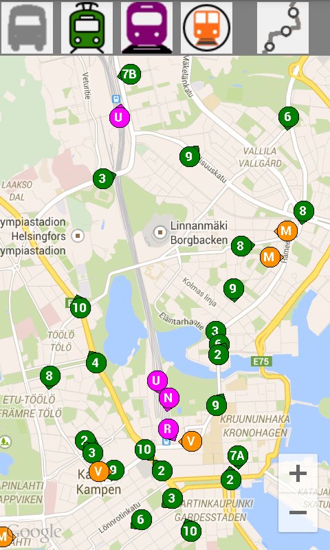
Dösä Tracker
12.12.2017 -

Bussinavi
12.12.2017