-

Bussitutka
11.4.2022 -

Kartta paljastaa alueet, joilla bussi kulkee harvoin
16.9.2019 -

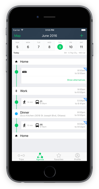
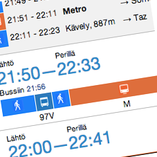
Perille
14.12.2017 -
Lähimmät lähdöt
13.12.2017 -
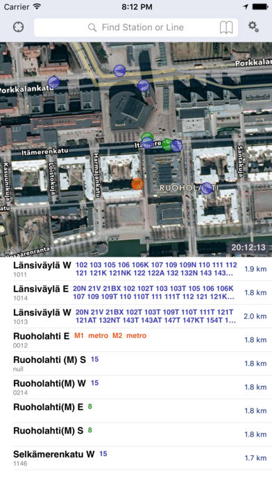
TaHslOnlineInfo
13.12.2017 -
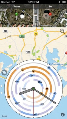
Transporter
13.12.2017 -
TripGo
13.12.2017 -

Dösä Tracker
12.12.2017 -

Bussinavi
12.12.2017 -

Nysse
11.12.2017 -
BusWatch
11.12.2017 -
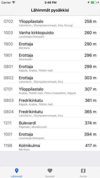
Lähipysäkit
11.12.2017 -
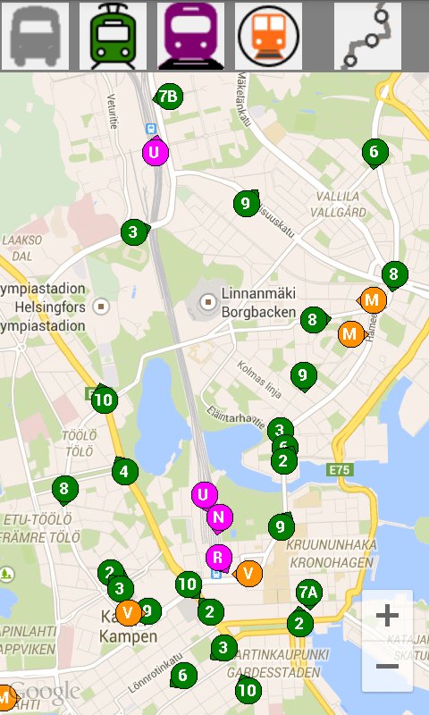
Stop Map Helsinki: pysäkkiopas
11.12.2017 -
RouteClock: visuaalinen reittiopas
11.12.2017 -
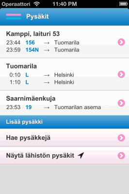
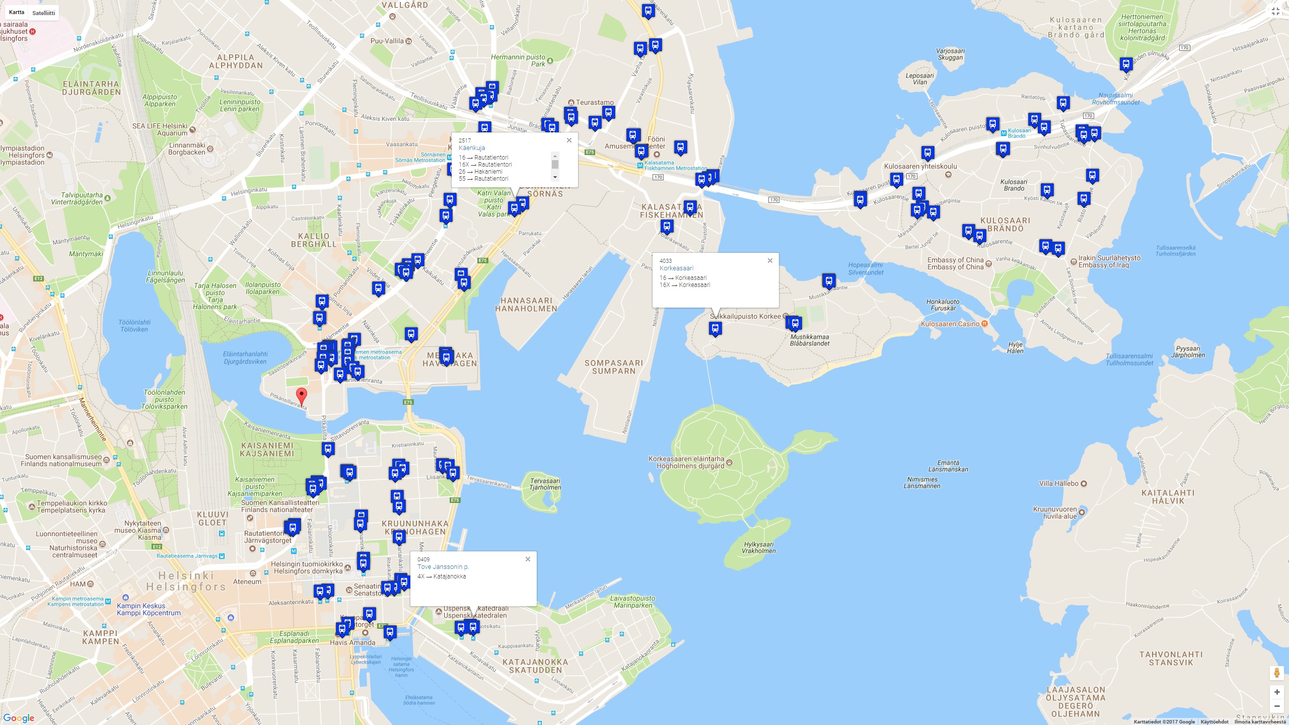
Pysäkit
11.12.2017 -

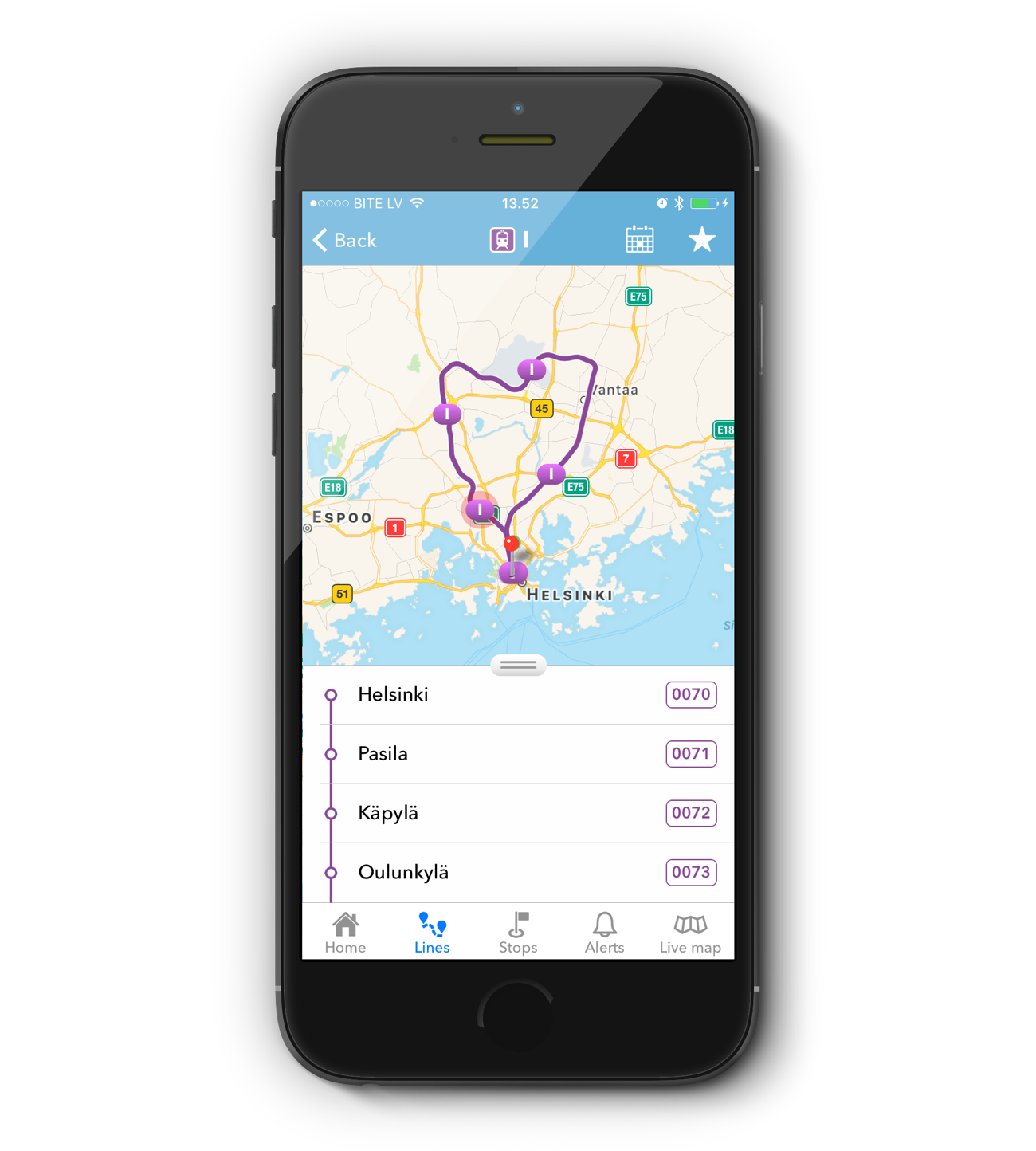
Reitit v2.0
30.11.2017 -

OpenTravelTime
30.11.2017 -
Ihan hyvä reittiopas
30.11.2017