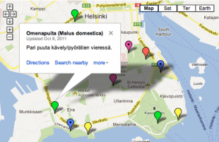
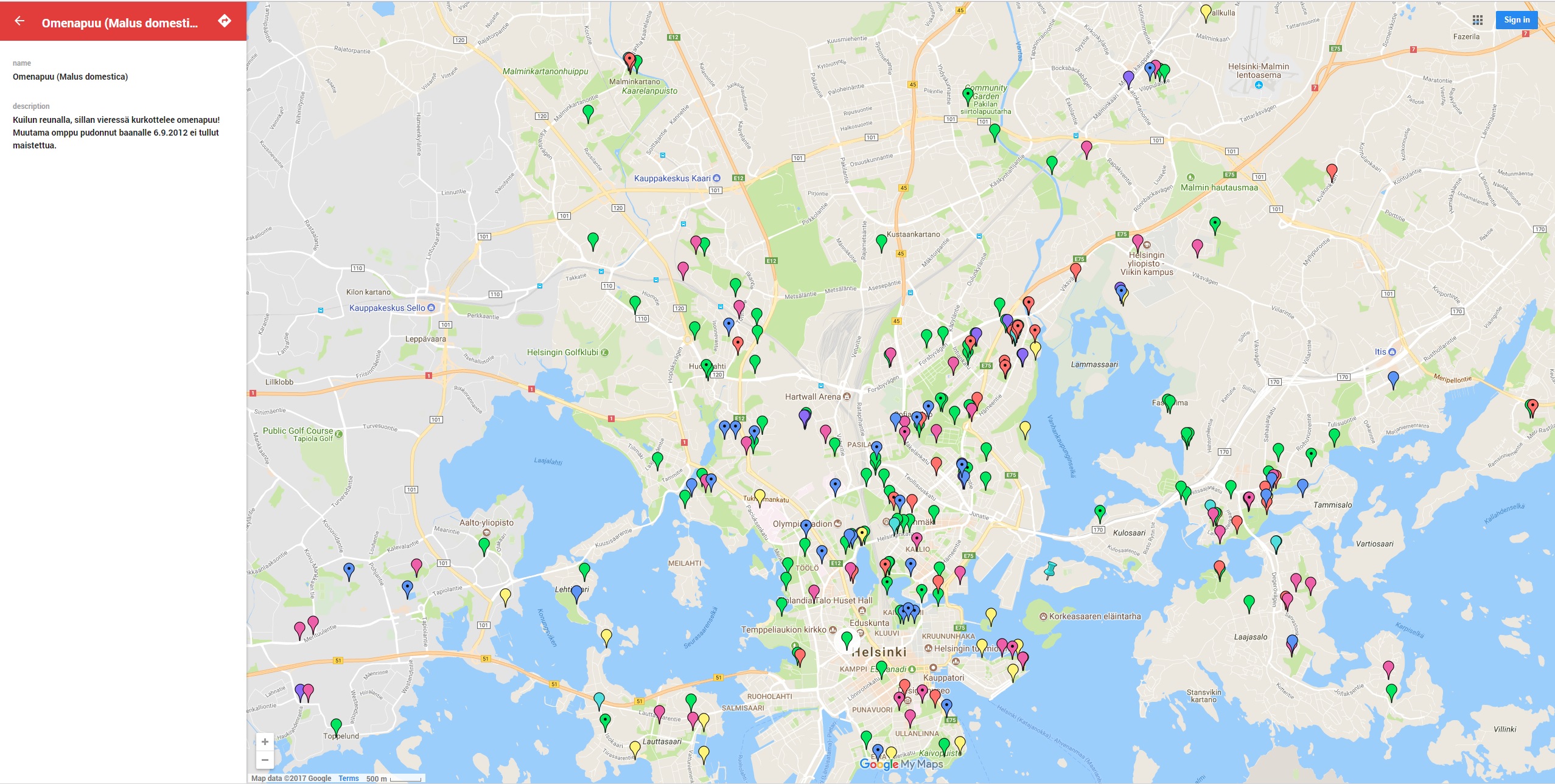
Satokartta is a map of Helsinki's public trees and bushes that produce a crop (e.g. apples, berries, etc.). The map includes trees and bushes that grow in public spaces, in the woods and in fallows. Excluded are trees and bushes that grow in private spaces (e.g. on properties of housing associations).
Anyone can participate in adding more information to the Satokartta map. All new hints and clues of unlisted trees or bushes are added to the map as soon as possible. The user should report at least the sort of tree or bush and its precise location. A forecast on the yield of the crop or the level of ripeness is also appreciated.
The app is no longer available.