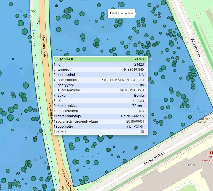
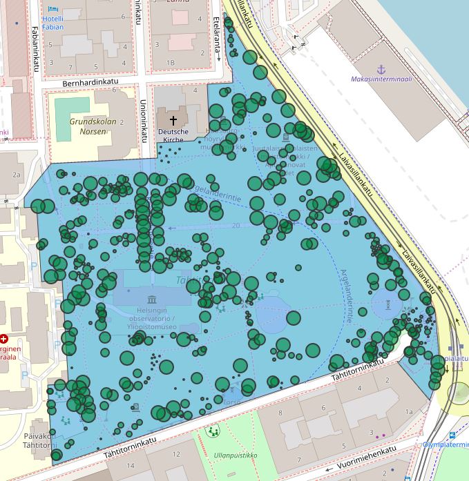
Helsinki trees and areas
Visualisations
Tuija Sonkkila
-
Published 24.6.2019
-
updated 18.12.2019