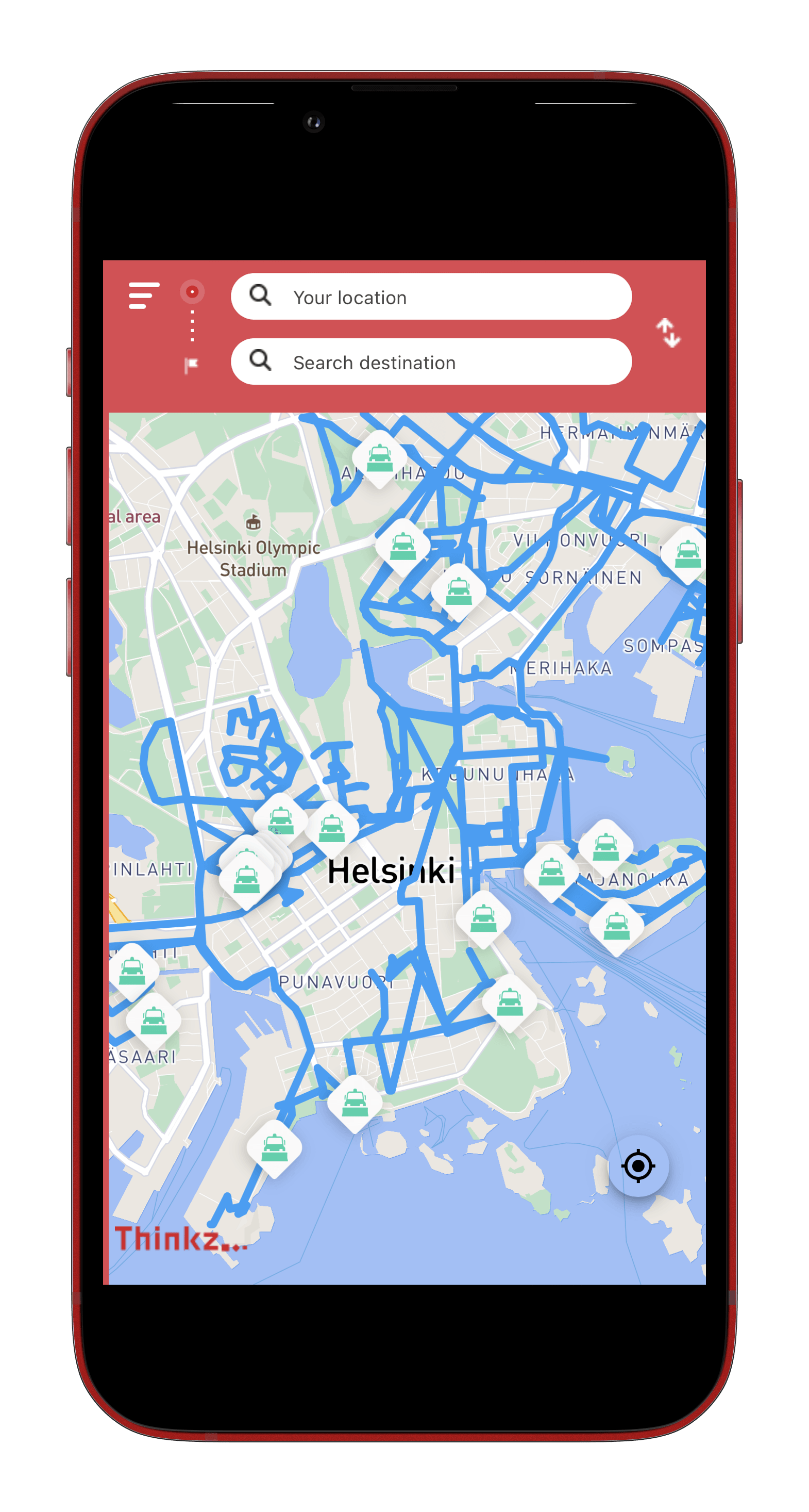
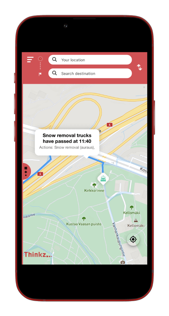
Real-time snow-plow mapping is the process of tracking and displaying snow-plow locations and progress using smart technologies and mapping software. The public can access this information through an online map interface that shows which routes and highways have been plowed and which areas are still being worked on. With real-time snow-plow mapping, snow-plow operators can better communicate with the public, increase safety and efficiency, and reduce the overall impact of snow and ice.
The advantages of real-time snow-plow mapping:
- Real-time snow-plow mapping provides drivers with updated information about road conditions, which helps reduce the risk of accidents, improve overall safety, and most importantly, helps them decide which route to take and when.
- Real-time snow-plow mapping makes it easier for residents to plan trips and run errands during snowy weather thanks to up-to-date information about which roads and highways have been cleared.
- Residents can avoid roads that are still being cleared with real-time snow-plow mapping, reducing travel time and helping them reach their destinations faster.
- A real-time snow-plow map can assist residents in making informed decisions about whether they should travel on certain roads, reducing the chance of accidents and improving road safety in general.
- It provides residents with up-to-date information about the status of roads in their community, helping to alleviate concerns and increasing overall peace of mind.
- Tracking snow plows in real-time allow city officials to monitor progress and allocate resources more effectively, resulting in faster snow removal.
- Real-time snow-plow mapping enhances transparency and accountability between city officials, snow-plow operators, and the public.