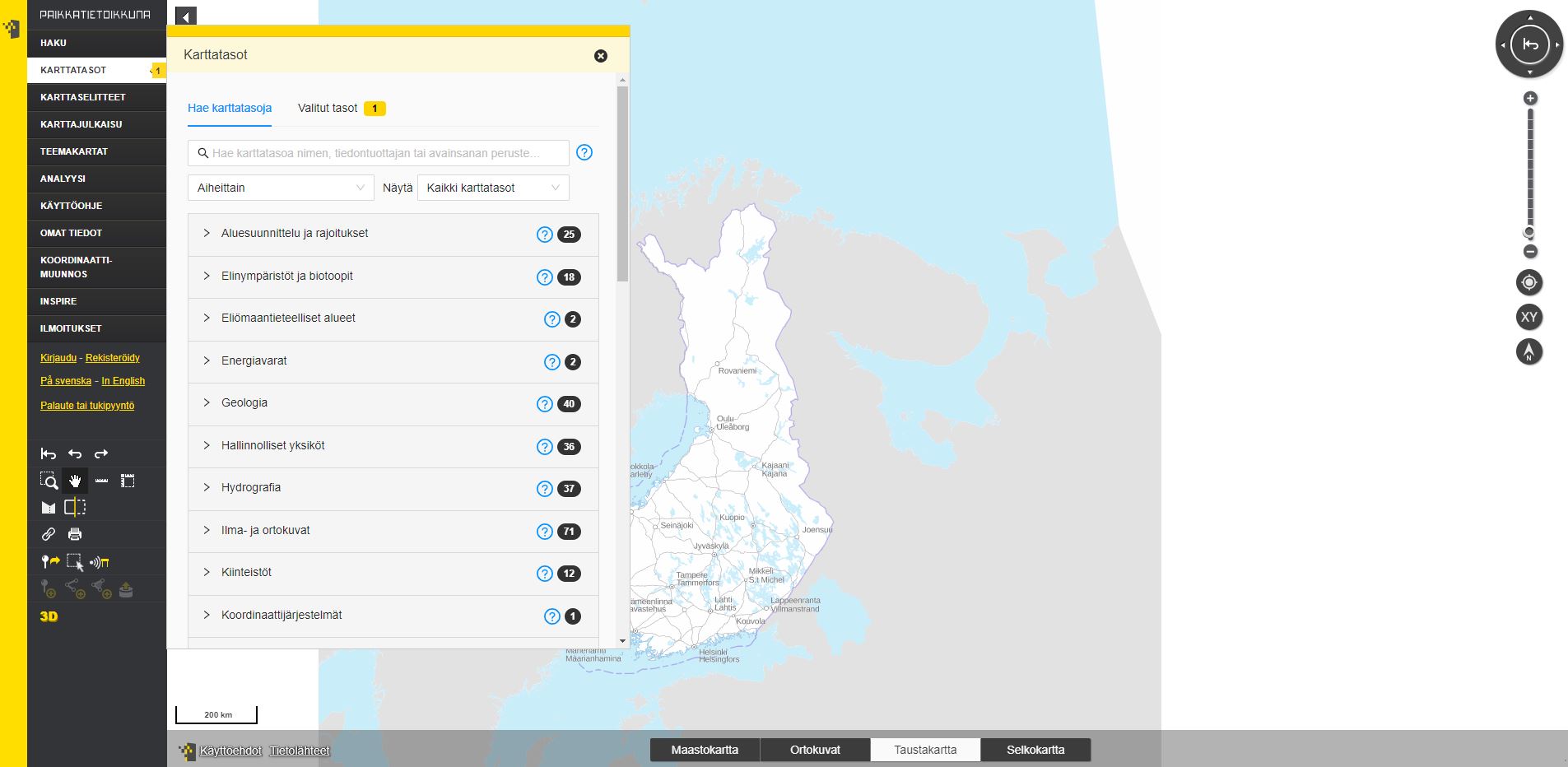
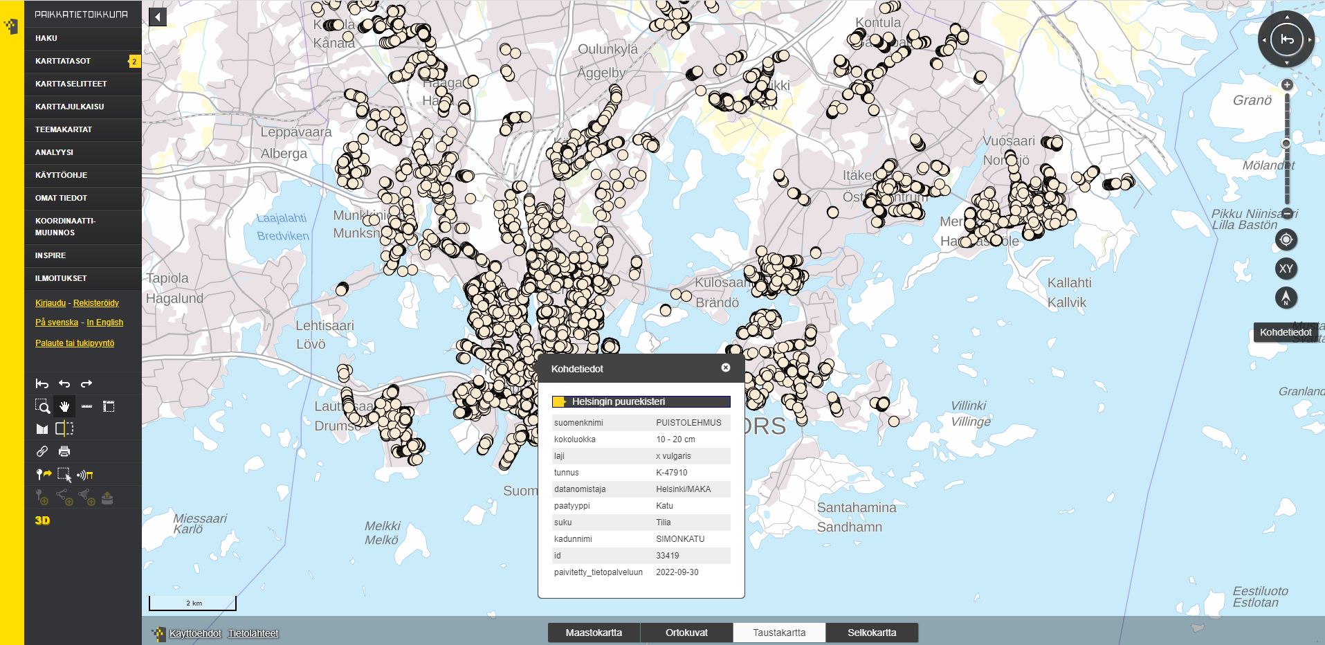

Paikkatietoikkuna web page maintained by the National Land Survey of Finland allows you to view maps and spatial data provided by different data providers.
In Paikkatietoikkuna, you can:
- save a map view and share it as a link to a friend
- publish an interactive map you made on your website
- create thematic maps based on statistical indicators
- perform simple spatial analyses
- do coordinate transformations
