Missä Helsingissä rysähtää?

Data journalism, Visualizations
Ville Juutilainen - Published 29.11.2017 - updated 27.6.2022
  1. 2017-11-29-082806.376196missahelsingissarysahtaascreenshot-310x240.png

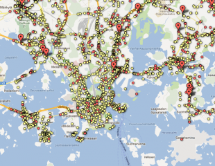
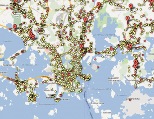
Traffic accidents in Helsinki 2000-2010 on a map. Accidents can be filtered by type and it is possible to leave comments. Scenes of accidents include satellite and street views.

The app is no longer available.

Used datasets

comments powered by Disqus