Skip to content
  • FI
  • EN
  • SV
Helsinki • Espoo Site logo Vantaa • Kauniainen
Helsinki • Espoo • Vantaa • Kauniainen
  1. Home
  2. Showcases
  3. Korttelitehot

Korttelitehot

Visualizations
  • construction
  • population
Patrick Jensen - Published 18.8.2021 - updated 19.8.2021
  1. 2021-08-18-124414.919300Korttelitehotkansi.JPG

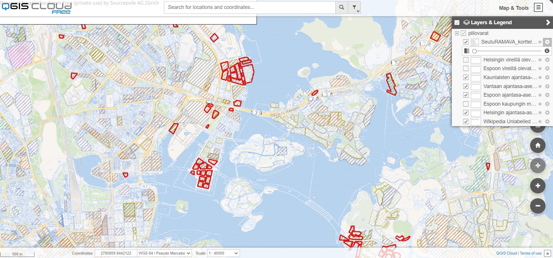
Karttanäkymään on koottu pääkaupunkiseutuun liittyvää paikkatietoa: mm. tietoa väestön määrästä, kaavoituksesta, korttelitehokkuuksista, rakennusoikeuden käyttöasteesta sekä kävelyaikavyöhykkeistä juna- ja metroasemille.
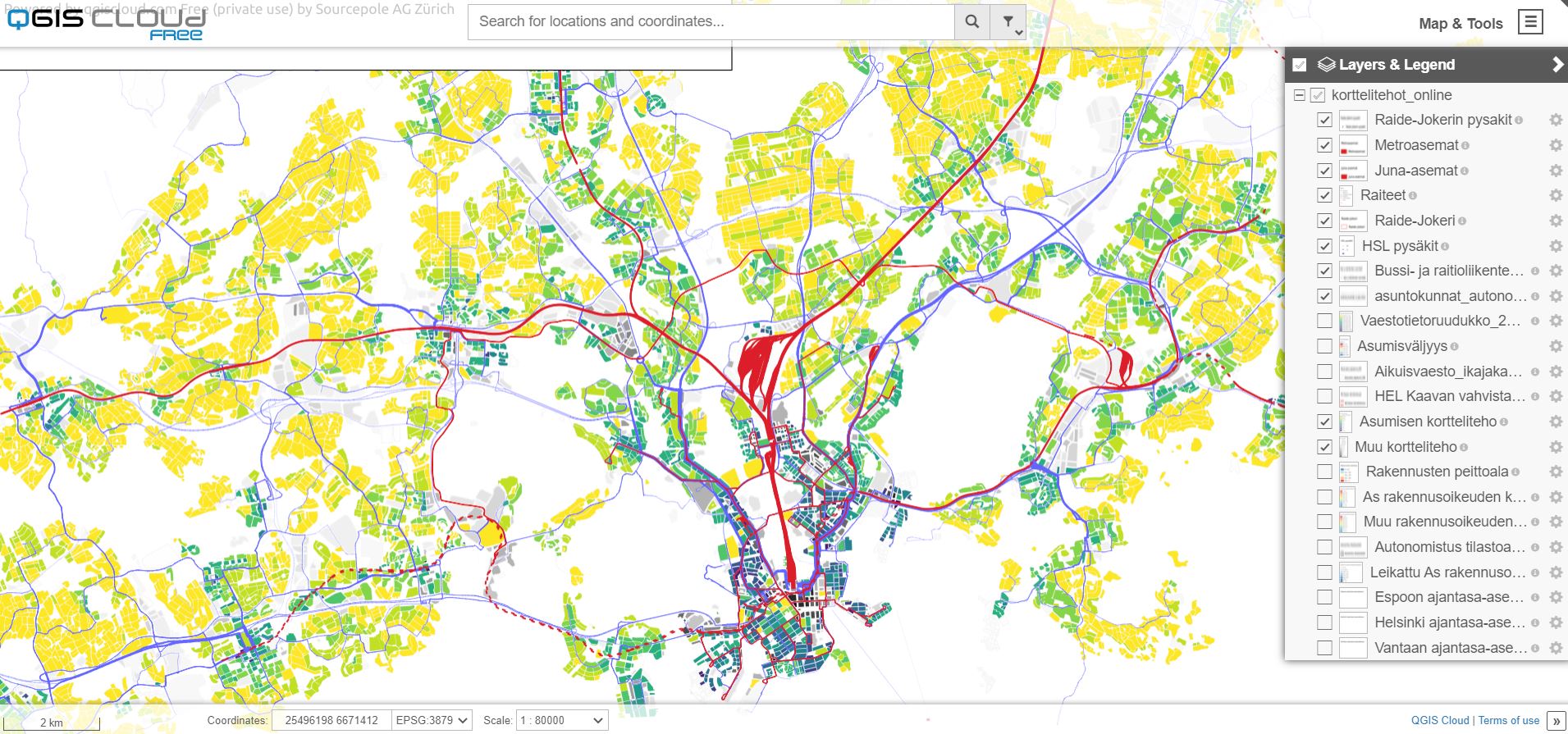
Used datasets

  • Lot reserve in the Helsinki Metropolitan Area per block (SeutuRAMAVA)

    The dataset contains information on valid city plans in the Helsinki metropolitan area (Espoo, Helsinki, Kauniainen, Vantaa) in floor square metres, summed up at the block level...
    • WFS
    • WMS
    • SHP
    • TAB
    • KML
    • XLSX
  • Combined Detailed Plan Map of The City of Espoo

    The confirmed town plan of Espoo includes the valid plan symbol at each location. However, the exact meanings of the plan symbols vary between town plans. Therefore, the reader...
    • WMS
    • GEOTIFF
  • Jokeri Light Rail Line lines and stations

    Planned Jokeri Light Rail line and stops from Itäkeskus in Helsinki to Keilaniemi in Espoo. Jokeri Light Rail is a light rail line planned to run between Itäkeskus and...
    • WMS
    • WFS
  • Helsinki Region Transport public transport stations

    Helsinki Region Transport's (HSL) public transport stations. Data attributes and preview in
  • SHP
  • Helsinki Region Transport shift frequencies

    Helsinki Region Transport's (HSL) shift frequencies for buses and trams between stops. Data attributes and preview in
  • SHP
  • KML
  • CSV
  • GEOJSON
  • GEOSERVICE
  • Combined Detailed Plan Map of The City of Vantaa

    The city plan of Vantaa is a combined map of the legally valid detailed plans in the area of Vantaa. The city plan shows the planned land use as a combination of the entire...
    • WMS
  • Combined Detailed Plan Map of The City of Helsinki

    The detailed plan map of Helsinki is a combined map of the legally valid detailed plans in the area of Helsinki. The dataset includes both detailed plans and underground...
    • WMS
    • TIFF
  • Car ownership in the metropolitan area

    The data includes the car ownership data of Helsinki Metropolitan Area for the years 2000, 2002, 2005, 2007, 2010, 2012, 2013, 2015, 2017, 2020 and 2022 . Years 2000-2017...
    • XLSX
  • Population grid of Helsinki metropolitan area

    The population grid contains grid-based data on the population total, age distribution and occupancy rate of the Helsinki metropolitan area. The material covers the years...
    • WFS
    • WMS
    • SHP
    • TAB
    • KML
  • More from the author

    • Piilovarat

    Show all from this author
    Application website arrow_forward

    More from the author

    • Piilovarat

    Show all from this author
    • Data portal arrow_forward
    • Content management arrow_forward
    Site logo
    Follow us