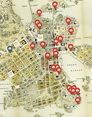
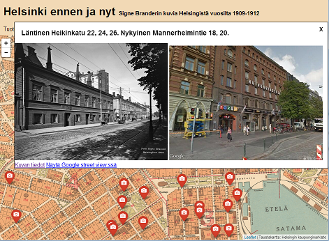
Discover the history of Helsinki by photographs, videos, maps and aerial photographs (orthophotographs). Aerial photographs have been around since 1930. In the background of the maps for the years 1900 and 1930, you can see the map for the next decade since some of the pictures extend over the borders of the map. For the meantime, for the 1950s and 1960s, a map from the year 1940 is used.
Used datasets
comments powered by Disqus