Text Petja Partanen
The unlocking of the Helsinki Metropolitan Area public transport data inspired developers to code dozens of mobile services that facilitate the life of public transport passengers.
The developers of the popular Reittiopas (“Journey Planner”) service, launched in 2001, were lucky. The service already had open data interfaces created previously. It was easy to get started with the unlocking of data: one had to simply tell others about the interface, although it had been originally designed for internal use.
”I only needed the approval of my superior and enough funding so we could open the developer.reittiopas.fi”, Helsinki Region Transport’s project manager Jari Honkonen recalls.
HRT data interfaces
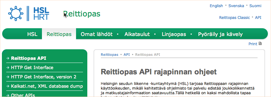
http://developer.reittiopas.fi/
Through Helsinki Region Transport’s open interface one can make HTTP requests of the public transport routes and schedules to the Reittiopas.fi service. In 2014, the system will also reveal the real-time location of the public transport vehicles.

•
The texts of the publication are licensed under the 'HRI-nimeä' attribution. All reuse of the material must be accompanied by the name of the author (Petja Partanen or Terhi Upola) and the publisher (Helsinki Region Infoshare).

Who made it happen?
Jari Honkonen
Project Manager, Helsinki Region Transport
What did it cost?
“The development and maintenance of the open interfaces have cost, in the past three years, about 60,000 euro for the Journey Planner and 40,000 euro for Omat lähdöt (“My Timetables”), Poikkeusinfo (“Information on Traffic Exceptions”) and HSL Live, put together. The development of the entire Journey Planner service has cost around 5 million euro throughout its history, including licence fees.”
Tips for those planning to open their data?
1. Start with something small: for instance, open some of your data as an Excel file and tell HRI where it is available. Try to make contact with the application developers from the get-go and listen to their feedback.
2. The next step is opening and updating an interface to your database. Contact a data system supplier and ask for a bid for the opening of your data.
3. Keep an eye on what others have done.
What was the most difficult part?
“The hardest thing may have been to convince others in our organisation that this was important – and even that was not very difficult. It was first frowned upon as an additional workload but now all my colleagues understand that this work has a significance.”
This is how the data was opened
2001 Launch of the Journey Planner web service for the Helsinki Metropolitan Area public transport.
2008 A bunch of application developers have discovered that an open interface had been built to the Journey Planner data system at the very beginning. The first version of the application ReittiGPS (“JourneyGPS”), making use of the interface, is published.
2009 The organisers of the first Apps4Finland contest send an enquiry to HRT about the open interfaces. The decision is taken to make the interface public and to document it.
2010 The Journey Planner is Finland’s second most valued online brand. The open interface to its
data is made public. The public transport data is used in several entries submitted to the
second Apps4Finland contest. “From that point onwards, the registration of
account no longer required that the user should send us an application.”
2011 New search functions are added to the Journey Planner interface. HRT organises the Mobiilikisa
contest to which participants submit 63 applications making use of the interface. In December
2011, the magazine MikroPC names HRT’s open timetable data the phenomenon of the year.
2012 The Journey Planner API has 600 registered users by May. “You need to register
to use the Journey Planner API but you can freely use them as you like.”
Where is the data used?
ReittiGPS
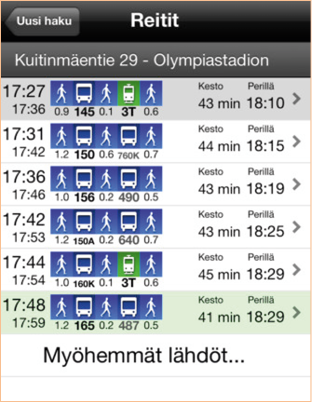
An iPhone application for browsing the Journey Planner.
Andropas
The Journey Planner’s Android application which shows the real-time location of trams and buses on the map.
Helsinki Public Transport Visualized
The visualisation displays from bird’s eye-view how Helsinki’s public transport wakes up to a new day.
HRT’s list of the existing applications
http://www.hsl.fi/FI/aikataulutjareitit/avoimentiedonpalvelut/Sivut/default.aspx
